
With the weather warming up, now is the perfect time to be on the lookout for the stunning pink blooms to make their appearance.
To make it easier for cherry blossom seekers, the Vancouver Cherry Blossom Festival has an interactive map to help you find cherry blossoms in your area.
Vancouver Cherry Blossom Map: Cherry Compass
The Cherry Compass is described as a map that delivers cherry blossoms directly to your phone.
It has an extensive database that includes over 300 spots throughout Metro Vancouver. Not only does it provide details on the exact location of each spot, but it also describes the different types of cherry blossom tree that can be found there.
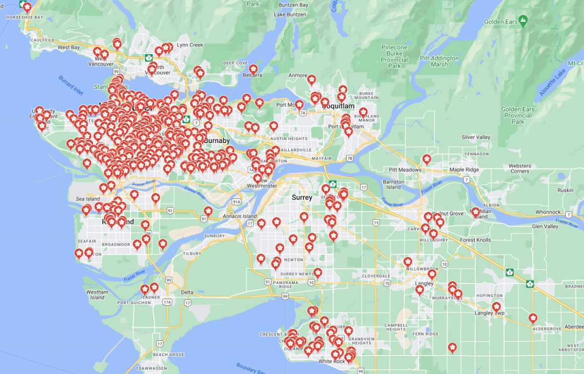
Whether you’re a local or a tourist, this map is an excellent resource for exploring the beauty of Vancouver’s cherry blossoms. From parks and gardens to streets and neighbourhoods, the map covers all the best spots.
You can check out the map for yourself here.
More about the Vancouver Cherry Blossom Festival
The Vancouver Cherry Blossom Festival is a cherished tradition in the city. It celebrates the arrival of spring and the beauty of the cherry blossom trees.
Every year they offer a series of events to celebrate the season. The festival is also an opportunity to learn more about Japanese culture and its influence on Vancouver.
If you’re interested in attending the Vancouver Cherry Blossom Festival, make sure to check out the festival’s website for more information.
Source: 604NOW


Back to Our Blog